- Park Offices and Staff
- Transparent administration
- Body's Register
- Procedures and Forms
- Laws and regulations
- List of websites
- Guided itineraries
- Conferences
- Bibliography
- Park's calendar 2019
- Projects
- Research
- Materials and technical tables of the forum
- Community Service
Home » Visiting the Park » Paths
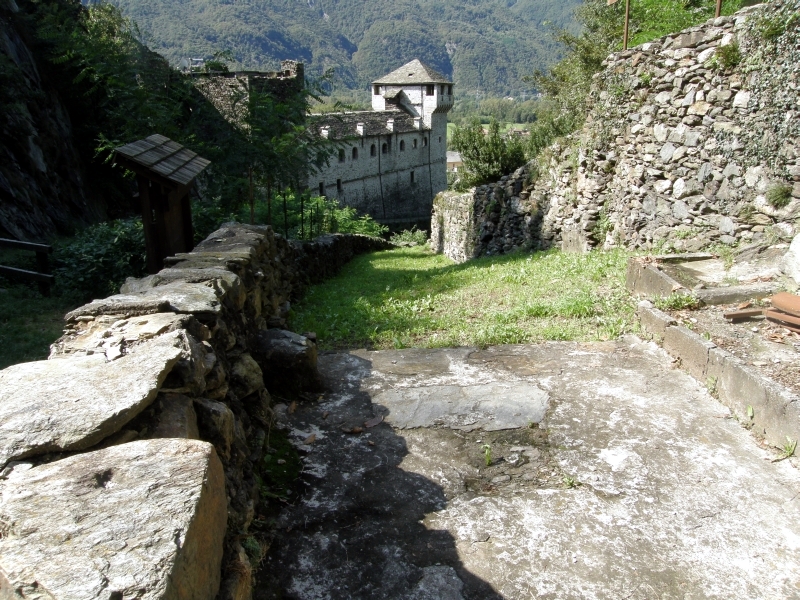
Geological Path
Open


- Departure: Vogogna (Vogogna)
- Arrival: Premosello Chiovenda (Premosello-Chiovenda)
- Duration: 1 hour without considering the pauses
- Difficulty Level: T/E. Simple itinerary, well visible but with some exposed stretches
- Difference in height: 100m
- Involved Municipalities: Premosello-Chiovenda, Vogogna
THE PATH IS PARTIALLY CLOSED TO VISITORS BECAUSE OF A LANDSLIDE (ORDER OF VOGOGNA MUNICIPALITY, AVAILABLE ON THE WEBSITE).
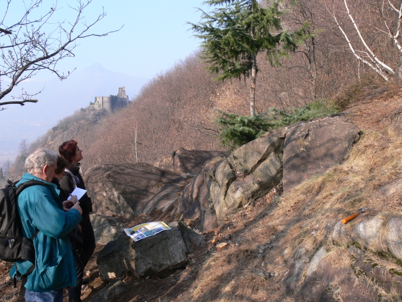
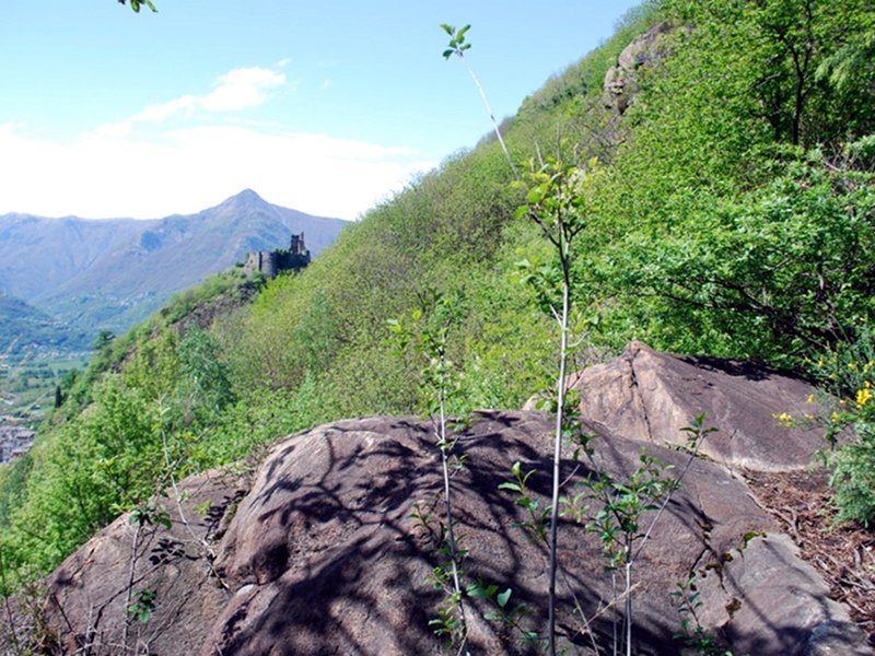
The geological path between Vogogna and Premosello Chiovenda offers visitors the extraordinary opportunity to "cross" the continental crust by observing the rocks developed at different depth levels and in different times. Along an equipped itinerary you will go from the european paleocontinent, involved in the Alps' formation (about 50/30 million years ago), to the african paleocontinent still keeping rock and other structures developed about 300 million years ago. You will climb down up to the contact point between crust and mantle, usually situated at a depth of 30 to 35 km, which emerged thanks to the tectonic movements.
© 2025 - Ente Parco Nazionale Val Grande
Villa Biraghi, Piazza Pretorio, 6 - 28805 Vogogna (VB)
Tel. +39 0324/87540 - Fax +39 0324/878573
E-mail: info@parcovalgrande.it - Certified mail: parcovalgrande@legalmail.it
USt - IdNr. 01683850034
Tel. +39 0324/87540 - Fax +39 0324/878573
E-mail: info@parcovalgrande.it - Certified mail: parcovalgrande@legalmail.it
USt - IdNr. 01683850034

